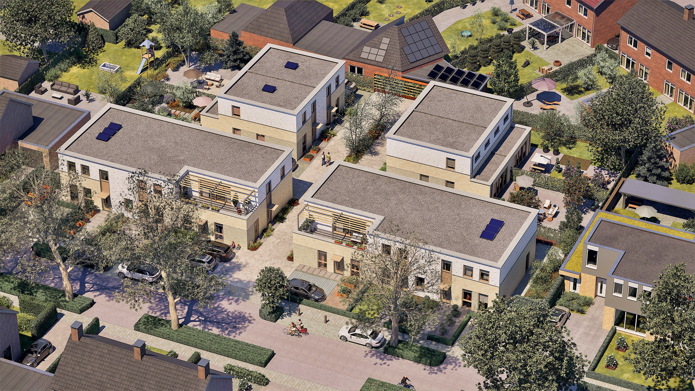
Aerial visualization is 3D impression of a project from a bird's-eye view. This type of visualization helps communicate the overall scale of a development, its relationship to the surrounding environment, and how it fits within the wider context.
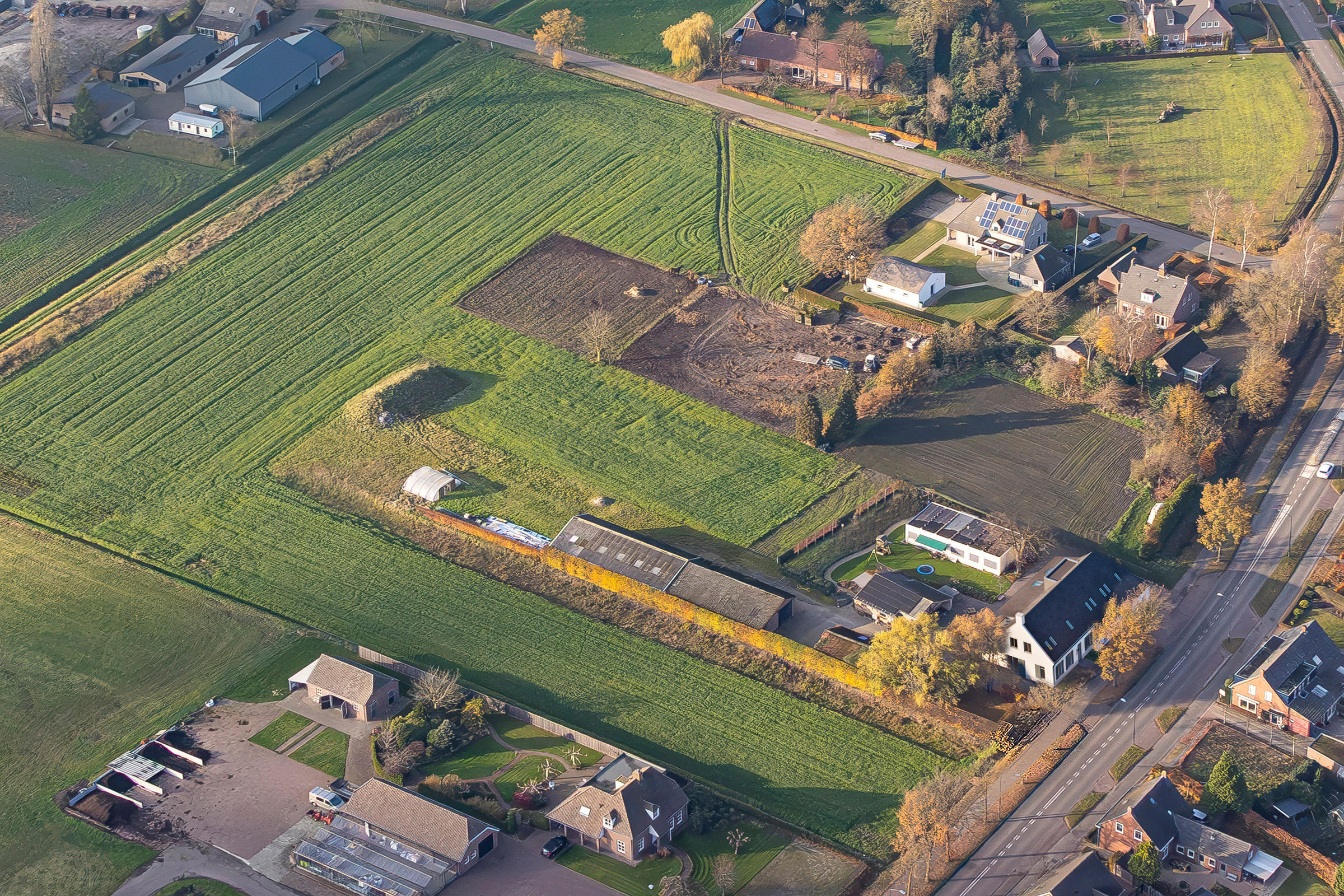
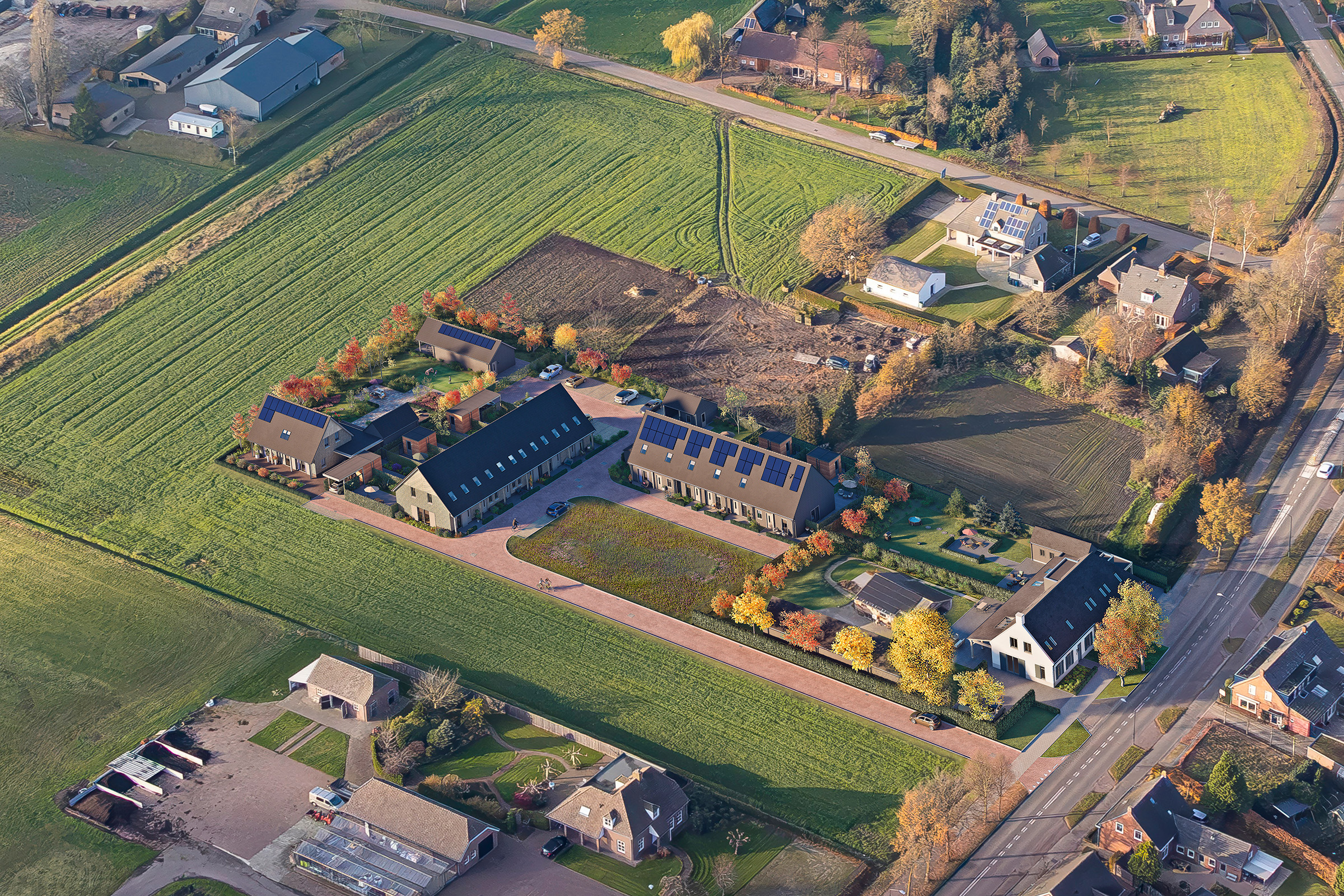
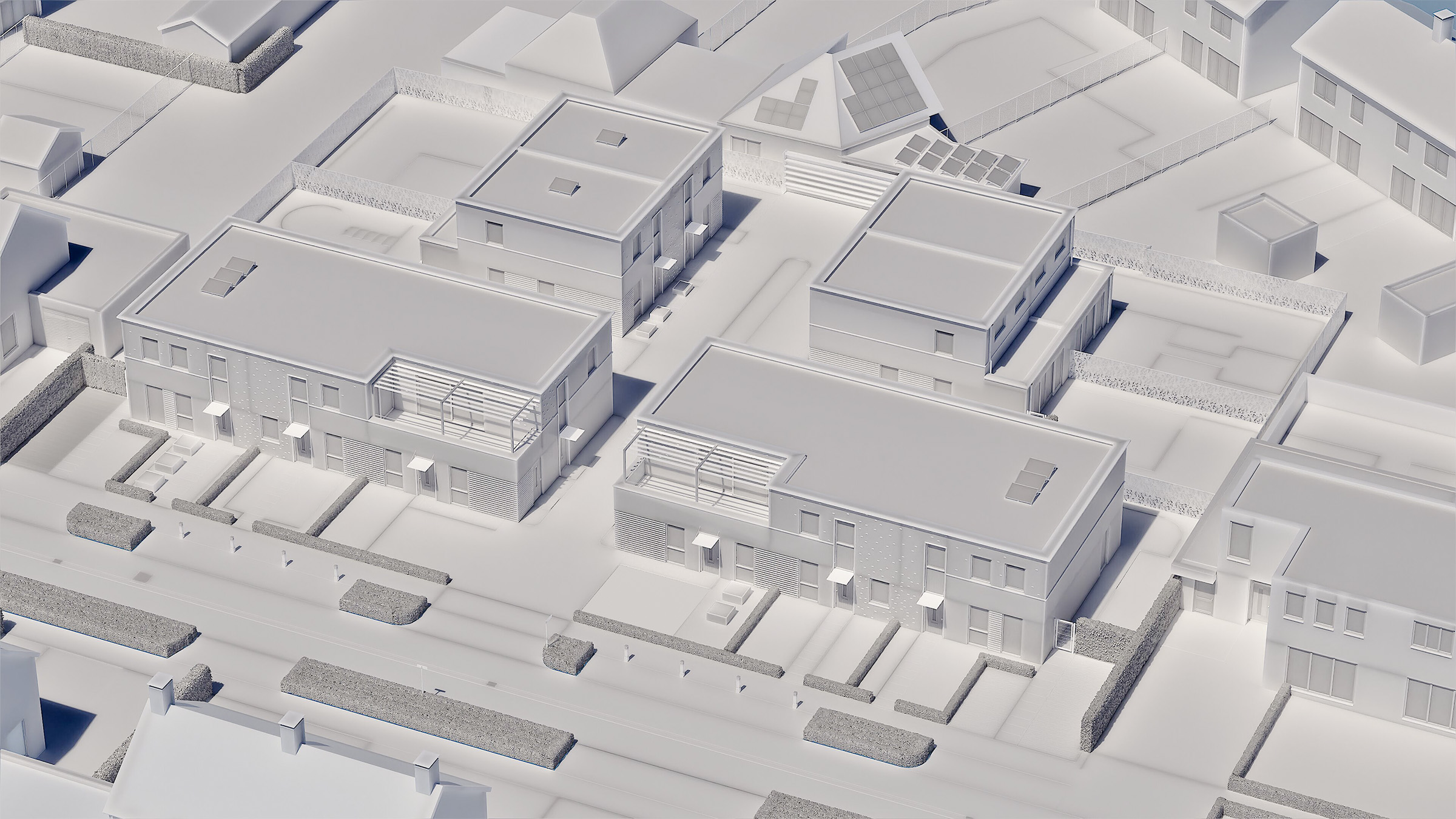
Below are examples of different approaches to aerial visualization: integrating the project into an aerial photograph or creating a fully 3D-modelled scene.

Looking for an aerial visualization?
Get in touch